Hansbergrunde


- Flatly
Interactive elevation profile
Create PDF
Tour-Details
Paths covering:
You will experience a wonderful, challenging circular route (start in the centre of St. Johann).
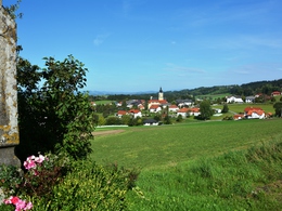
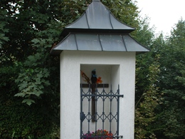
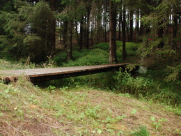
After crossing the Hummelmühlbach stream, you will ascend to the second highest point with stunning views of the mountains. Accompanied by the babbling of the Pesenbach stream, the route takes you through an inspiring natural landscape until you reach the Fellner Chapel after a climb. In the shade of two lime trees that were planted when the chapel was built in 1855, a bench invites you to take a break. Refreshed, the route then climbs up the Hansberg, the highest point in St. Johann (850m), from where you have a magnificent panoramic view over the beautiful Mühlviertel. After a visit to the Schnopfhagen memorial, at the "Stone Table" Hans Schnopfhagen wrote the melody for the Upper Austrian national anthem. You can enjoy the organic and regional products at the snack station (opening hours!).
With the free outdooractive app, you can hike the trail using navigation.
- Spring
- Summer
- Autumn
- Early winter
Please get in touch for more information.
St. Johann 10
4172 St. Johann am Wimberg
Phone 7217 7155
Fax machine 7217 7155 - 16
E-Mail gemeinde@stjohannamwimberg.at
Web www.stjohannamwimberg.at
Interactive elevation profile
Create PDF
Tour-Details
Paths covering:


